Have you ever tried disappearing off the map? It’s harder than you think to be invisible nowadays.
That’s because 100 years of mapping technology – from the original sketch of today’s London Underground to the satellite imagery of the 1990s – has monitored and shaped the society we live in.
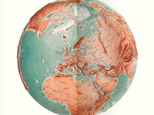
Two World Wars. The moon landings. The digital revolution. This exhibition of extraordinary maps looks at the important role they played during the 20th century. It sheds new light on familiar events and spans conflicts, creativity, the ocean floor and even outer space.
It includes exhibits ranging from the first map of the Hundred Acre Wood to secret spy maps, via the New York Subway. And, as technology advances further than we ever imagined possible, it questions what it really means to have your every move mapped.
Maps And The 20th Century: Drawing The Line
The British Library, 96 Euston Road, London
Ad
Event has ended
This event ended on Wednesday 1st of March 2017
This event ended on Wednesday 1st of March 2017
Admission
Full Price: £12
Senior 60+: £10
Student: £5
Under 18yrs: free
Full Price: £12
Senior 60+: £10
Student: £5
Under 18yrs: free
Website
Tags:
Exhibition
User Reviews
There are no user reviews