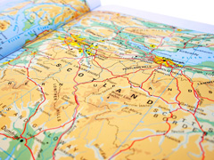
Maps, Charts & Prints
Listing of Maps, Charts & Prints in London
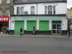
Muslim Welfare House
233 Seven Sisters Road N4 2DA
Finsbury Park 0.11 miles
Maps, Charts & Prints
Opening Times
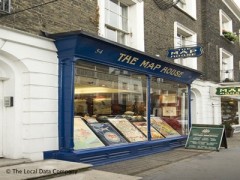
The Map House
54 Beauchamp Place SW3 1NY
Knightsbridge 0.34 miles
Maps, Charts & Prints
Opening Times
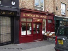
The Portobello Print & Map Shop
109 Portobello Road W11 2QB
Notting Hill Gate 0.37 miles
Maps, Charts & Prints
Page 1 of 1